The facts behind Nebraska’s tremendous groundwater resources.
What is an aquifer?
An aquifer is an underground layer of permeable or “leaky” rock. The mixture of sediment and rock in these layers contains many holes of different sizes that are able to store a massive amount of water. These groundwater storage systems feed water to the landscape, providing essential support to several ecosystems and many species of wildlife. The Ogallala Aquifer is a prime example of an aquifer that has been used extensively to support natural and working landscapes in the region. Aquifers like the Ogallala are located close to the surface and provide a source of fresh water for human needs such as drinking, bathing, irrigation and industrial activities.
What is the Ogallala Aquifer? Where is it located and how big is it?
The Ogallala Aquifer is a vast underground aquifer that underlies the areas of eight states in the United States: South Dakota, Nebraska, Wyoming, Colorado, Kansas, Oklahoma, New Mexico and Texas. Both the thickest and the most expansive parts of this aquifer lie in Nebraska.
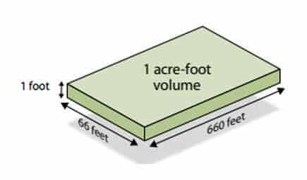
It’s one of the most productive sources of groundwater for irrigation in the world because it holds an estimated volume of some 3 trillion gallons of water. That’s enough to cover all of Texas with a foot of water!
However, this number is constantly changing as new water is added and old water is removed by pumping or other means. It is estimated that 32 billion gallons are withdrawn from the aquifer annually for irrigation, industrial uses and other purposes, according to the USGS.
The U.S. Geological Survey (USGS) has been measuring and monitoring groundwater levels throughout the Ogallala region since 1950.
Why is the Ogallala Aquifer important? What is it used for?
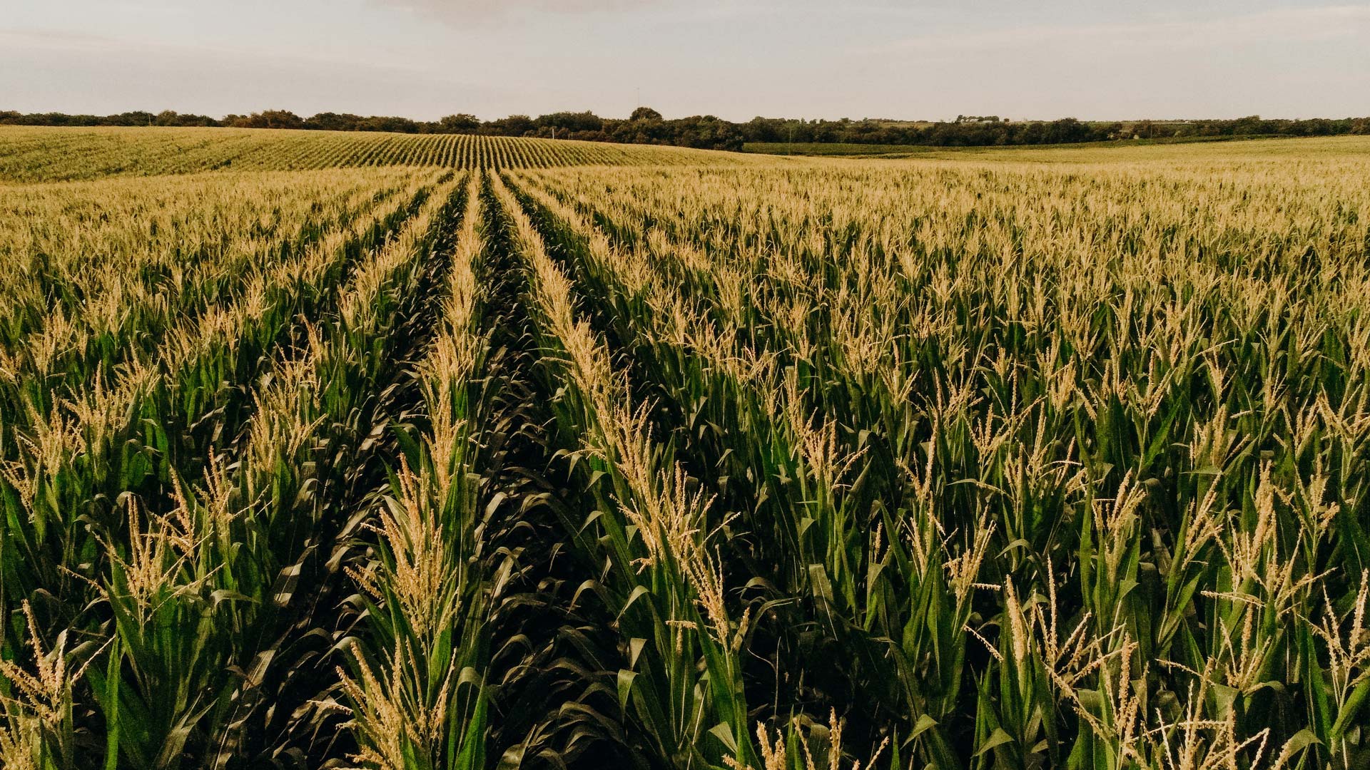
This aquifer underlies several critical ecosystems, most notably the Central Plains. The area is home to many endangered species, including mammals, birds, and fish. The Ogallala provides much-needed irrigation water for crop production in this highly arid region. Farmers depend on the Ogallala Aquifer for both corn farming and livestock production.
It is estimated that about 40% of the groundwater used for agricultural purposes in the United States comes from this aquifer, according to a 2014 study conducted by researchers at Texas A&M University. This number has likely fluctuated since then, as continued usage of this aquifer can affect its overall capacity.
How did the Ogallala Aquifer form?
The Ogallala Aquifer was formed during the latest ice age when glacial meltwater flowed off of the Rocky Mountains and filled the underlying sediment in places where the water table meets with the ground surface. Over time, this accumulation of water has become a vast underground reservoir containing millions of gallons of fresh water. The aquifer is replenished by precipitation, but this process is too slow to keep up with current rates of water withdrawals.
How deep is the Ogallala Aquifer?
The Ogallala Aquifer is up to 1,000 feet deep in some places. However, the average depth is estimated to be between 100 and 300 feet below the surface. In some areas, the water table can reach depths of 500 feet or more. The aquifer contains deposits of both fresh and salty water. In most places, the upper layer is composed of fresh water, while the lower layers contain more saline water.
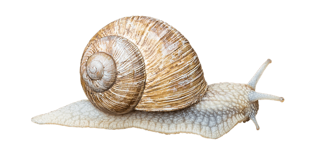
A snail can cover 656 feet per day. Water in the aquifer travels about 5 inches per day.
How does irrigation in Nebraska affect groundwater levels in Texas?
The Ogallala Aquifer in Nebraska is not continuous to Texas. The Republican River valley in Nebraska has cut through the Ogallala Aquifer, effectively creating a barrier that keeps Nebraska separate from Texas. Declines in Texas stay within Texas, and declines or rises in Nebraska levels stay in Nebraska.
How do aquifers ‘recharge’?
Recharge means that water is added to an aquifer. Aquifers can be recharged naturally through precipitation and runoff, or artificially by injecting water into the ground. Natural recharge occurs when rainwater or snow melts travel down through the soil and saturates the layers of the aquifer below. Keep in mind that all groundwater and surface water are connected as one resource, so as lakes and streams fill with water, they add to the groundwater and the process of natural recharge.
Artificial recharge involves pumping water from surface sources (such as rivers and lakes) directly into an aquifer or using surface water to fill a reservoir and then allowing it to percolate, or move slowly, into the aquifer. Artificial recharge is often used in regions where natural recharge is not sufficient to meet human needs.
The Ogallala Aquifer, for instance, has been artificially recharged through the Central Plains Groundwater District’s program of surface water recharge in order to supplement the aquifer’s natural recharge.
What is the problem with the Ogallala Aquifer?
Unfortunately, due to excessive over-pumping and other human activities, the Ogallala Aquifer is being rapidly depleted, which threatens its future availability as a reliable water source. For example, some areas of the aquifer have lost more than 100 feet of their water storage capacity since 1950 and many wells in Nebraska are no longer producing much usable water. As a result, it is essential that we work to conserve and protect this valuable aquifer.
How much water is left in the Ogallala Aquifer?
The exact amount of water remaining in the Ogallala Aquifer is difficult to determine, as it depends on a variety of factors. However, the USGS estimates that there is enough water left for another 50 to 100 years if current trends continue.

